 Geobru catalogue
Planning cadastre
Type of resources
Available actions
Topics
INSPIRE themes
Keywords
Contact for the resource
Provided by
Years
Formats
Representation types
Update frequencies
status
Scale
-
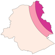
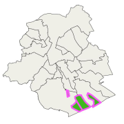
Brussels-Capital Region: location of the three areas of limitation of aircraft noise defined by the order of the Government of the Brussels-Capital Region of 27 May 1999 on the fight against the noise generated by air traffic. Note : http://geoportal.ibgebim.be/pdf/metadata_doc/19990527_agb_LutteBruit_TraficAerien.pdf
-
Brussels-Capital Region : protected areas in the Brussels Sonian Forest: vulnerable planting or regeneration plots, refuges for wildlife, fragile being recolonized areas. In those areas, walkers must always stay on the paths and dogs must be leashed (Order of 30 March 1995).
-
Vue des UTG (unité technique et géographique) pour les PE
-
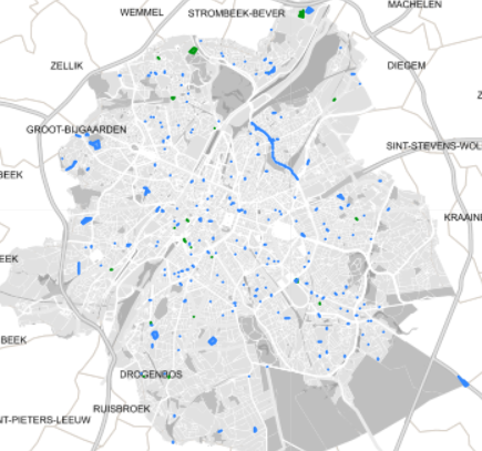
Spatial representation of building permits in the Brussels region
-
Brussels-Capital Region: location of the three areas of limitation of aircraft noise defined by the order of the Government of the Brussels-Capital Region of 27 May 1999 on the fight against the noise generated by air traffic. Note : http://geoportal.ibgebim.be/pdf/metadata_doc/19990527_agb_LutteBruit_TraficAerien.pdf
-
Section of the municipality's territory with a particular use of the land, as stipulated by graphical and written regulations, authorised by decree
-
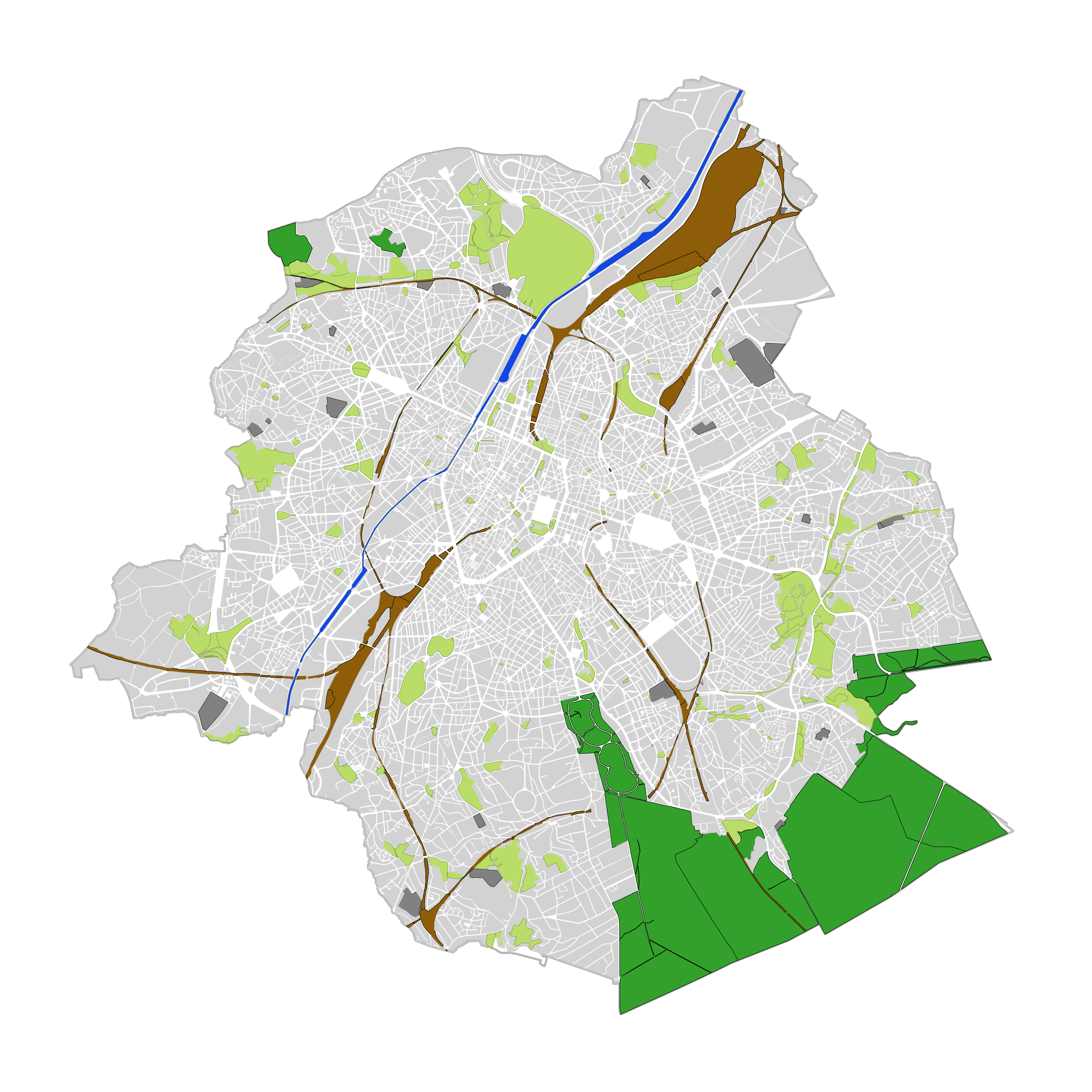
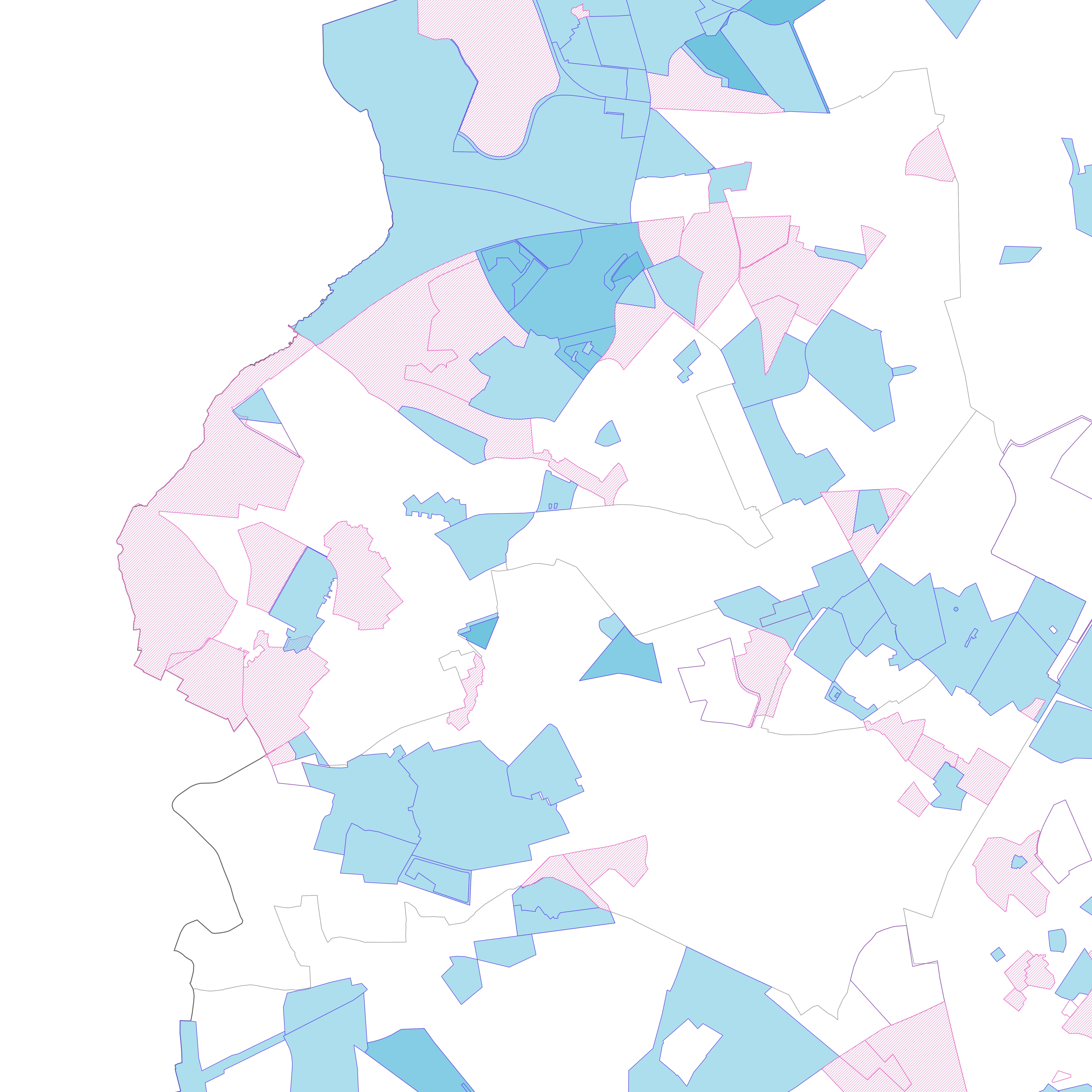
Brussels-Capital Region : land cover refers to the physical and biological cover of the earth's surface, including artificial surfaces, agricultural areas, forests, semi-natural areas, wetlands, water bodies. The entity "Green Block" (or green area) identifies the footprint of vegetated amenity areas(lawn, trees, possibly planted with flowers and ornamental trees and bushes, and often lined ponds and paths). Green areas have been designed on the basis of various plans (photogrammetric surveys, detailed maps, maps of towns, ...). They have a heterogeneous precision because of the diversity of origin. The entity "Green Block" (or green area) is represented using three different types: - GB-A: grassed (some grassy berm plants or trees) bands; - GB-B: parks (water parks located in these areas are not excluded); - GB-F: forests or wood (islets of the Soignes Forest located in the Brussels Region). The entity "Water Block" (or water area) locates and identifies various water bodies in the territory of the Brussels-Capital Region (channel, ponds, Senne river, ...). We distinguish : 1. water areas located at [0] which are visible from the air (abbreviated WB-0); 2. water areas (for the channel) located at [-] on the road (invisible from the sky) (abbreviated WB-M).
-
This dataset corresponds to applications for environmental permits filed in the Brussels-Capital Region, as defined in Title II of the ordonnance of 5 June 1997 regarding environmental permis. It includes both municipal and regional permit applications.
-
This dataset corresponds to applications for urban planning permits filed in the Brussels-Capital Region, as defined in Article 98 of the Brussels Town Planning Code. It includes both municipal and regional permit applications.
-

Brussels-Capital Region : building means any physical construction formed of rigid exterior walls, roofed, permanently attached to land, and designed to accommodate human activity and / or shelter for animals, goods and machinery.